
Discover. Fish. Conserve.
Western trout water,
in context.
Follow the water through its landscape. Find the context that helps you understand it.
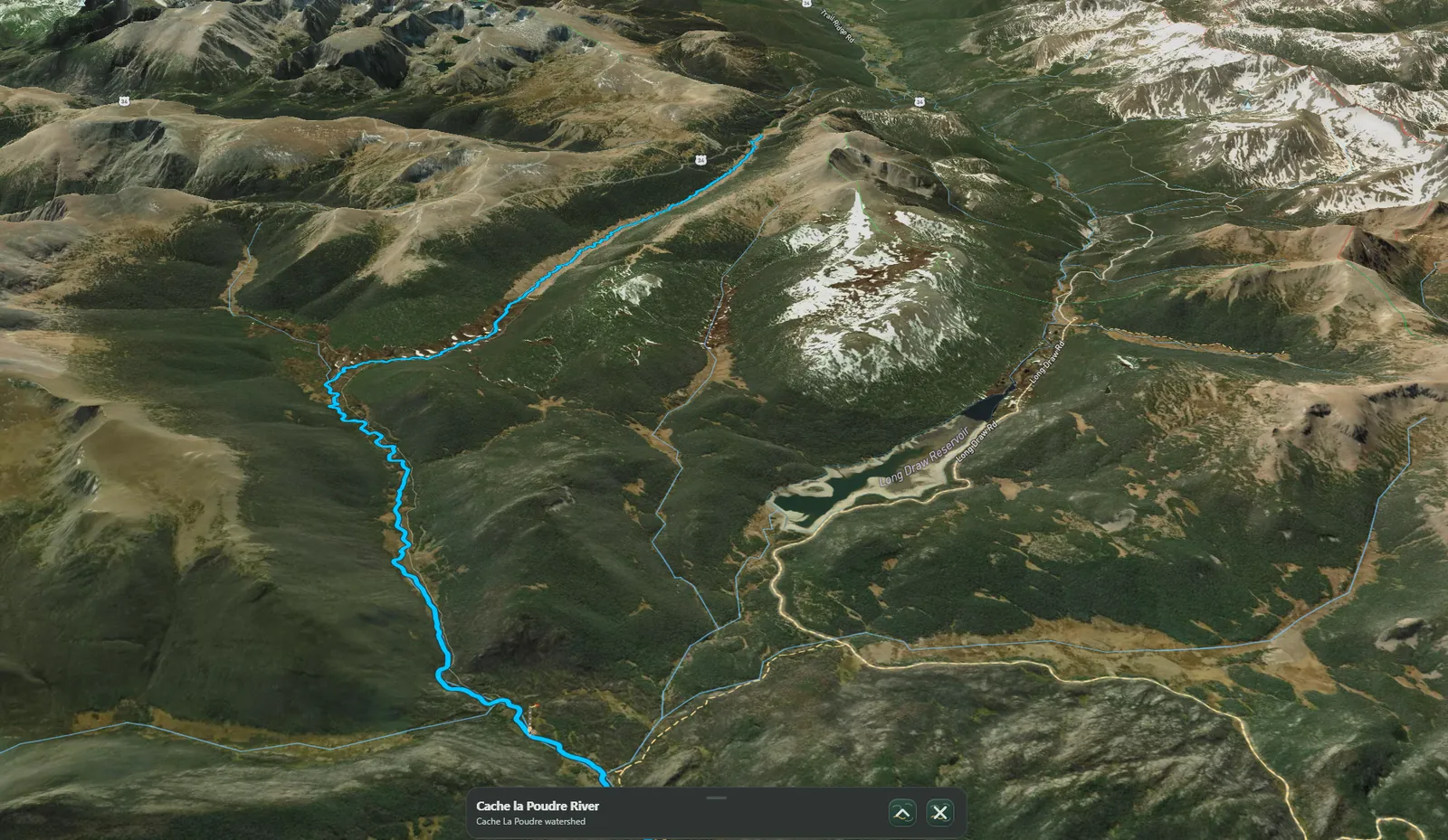
A wider view of the water
A fishing map built around water, not pins.
Follow rivers through their landscape. Understand conditions and context. Carry what matters into the field.
Explore · Understand · Plan · Fish · Remember
From headwaters onward
Follow the water.
Rivers don’t stop at map tiles.
See a river in the country around it: the tributaries, valleys, and ridgelines that shape its course. Atlas keeps the larger landscape in view, so a stretch of water feels connected to what comes before and after.
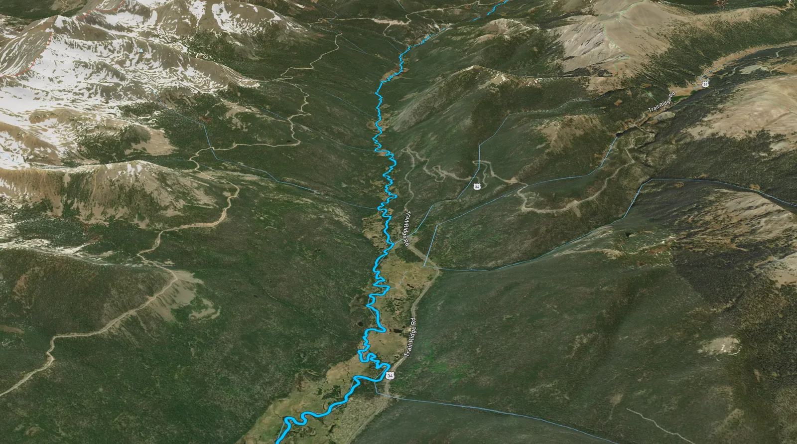
Before the first cast
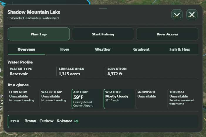
Know what you’re walking into.
A water profile, elevation, weather, and fish context bring the practical picture together before you head out.
Conditions depend on the water and the available sources. When a reading isn’t available, Atlas says so.
Discover. Fish. Conserve.
Built for western
trout country.
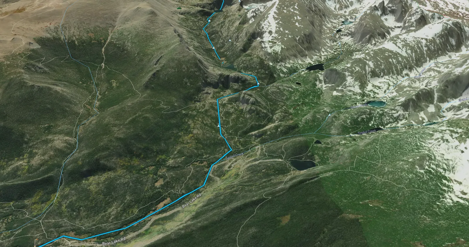
Understanding a place
is part of caring for it.
Native trout belong to a larger story of watersheds, habitat, and change. Atlas brings that context into the map while treating sensitive populations conservatively.
Watershed context is not a claim that every visible stream holds native trout. Sensitive population locations are not a destination list.
From the desk to the trail
Plan at home.
Carry it into the field.
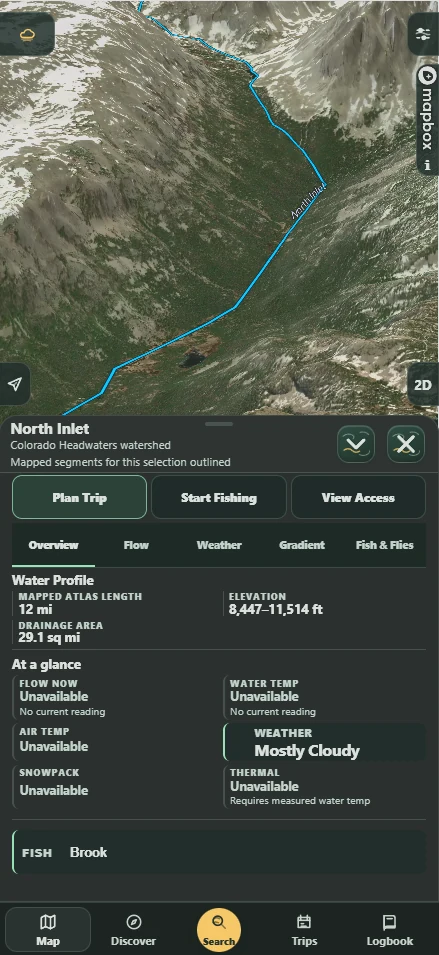
The same Atlas, in a different setting. Explore the landscape on a larger screen, then open Atlas on your phone to keep water and context close at hand.
A real view from the mobile Atlas.
A clearer view, behind the map
Know what Atlas connects to.
Maps and conditions draw on outside services. The optional Privacy / Network Activity diagnostic view lets you inspect observed activity and understand why those connections happen.
Recording is off until you start it. The diagnostic log does not change network permissions, control Mapbox telemetry, or act as an analytics opt-out.
Read the Privacy Policy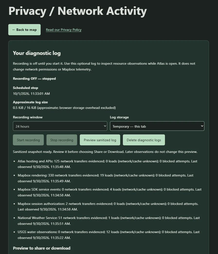
Rooted here. Looking west.
Built in Colorado.
Expanding West.
Colorado is the foundation. More western water is the direction. We’re building thoughtfully, one landscape at a time.
Stay close to what’s next
Get Atlas updates
Occasional Cutthroat Atlas development and launch updates. Nothing else.
Updates signup is temporarily unavailable. Please check back later.